 GENOTT LTD Editorial Team
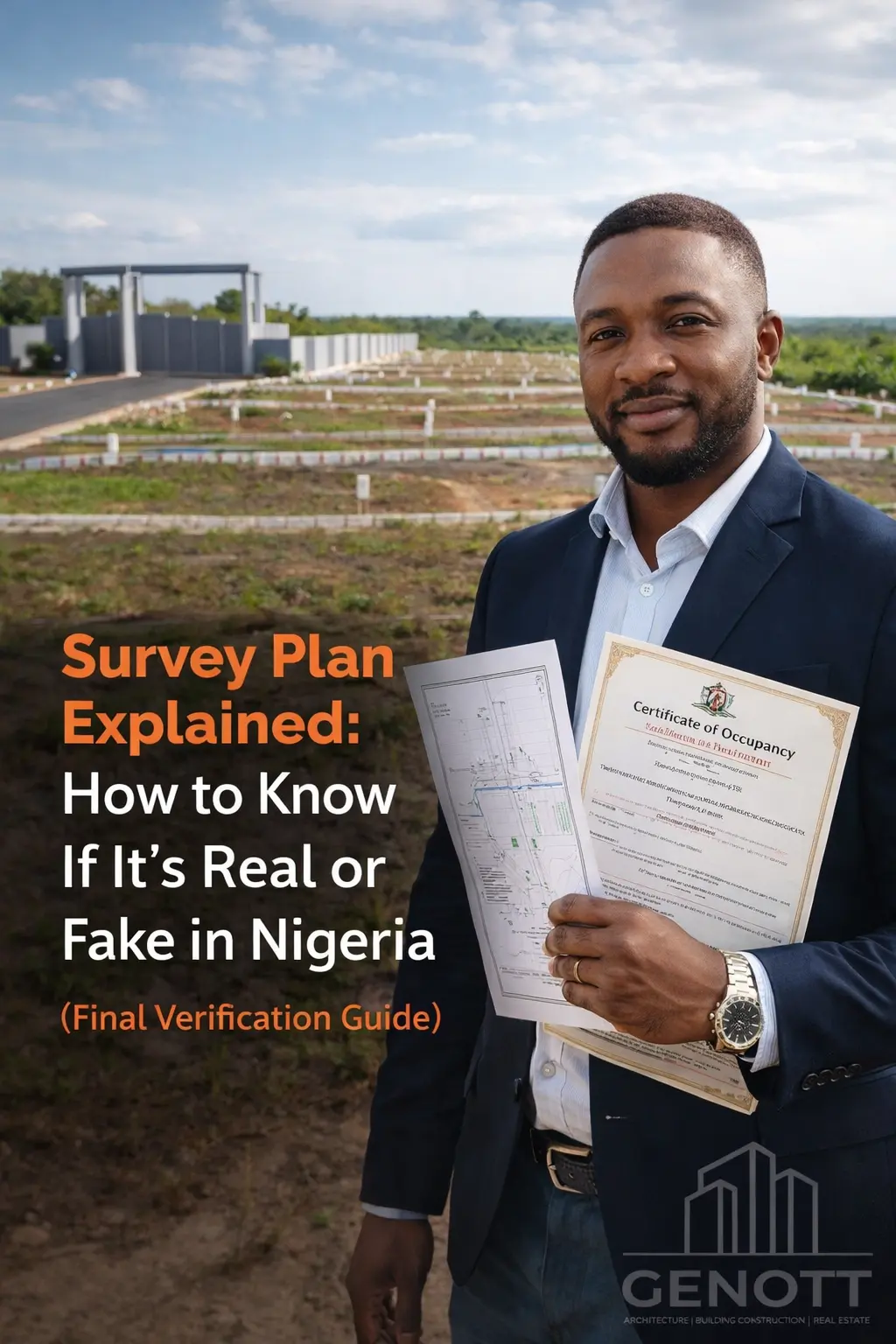
Survey Plan Explained: How to Know If It’s Real or Fake in Nigeria (Final Verification Guide)
Survey Plan Explained: How to Know If It’s Real or Fake in Nigeria—learn verification, charting, red flags, and safe land buying with GENOTT LTD.
Introduction
Survey Plan Explained: How to Know If It’s Real or Fake is one of the most important topics every land buyer in Nigeria must understand. A survey plan is meant to confirm the exact location and boundaries of land—but it is also one of the most commonly forged documents used in land scams.
Whether you’re buying land for housing, estate development, or farmland investment, knowing how to verify a survey plan can protect you from disputes, demolition risks, and complete financial loss.
This guide gives you the exact checklist and step-by-step verification process used by smart investors across Nigeria.
What is a Survey Plan in Nigeria?
A survey plan is an official document prepared by a registered surveyor showing:
-
The exact land location
-
Boundary measurements
-
Coordinates and beacon points
-
The land’s position within an LGA and state
In simple terms, a survey plan answers:
“Where exactly is this land, and what are its legal boundaries?”
Survey plans are essential for:
- Real estate development
- Farmland investment
- Estate and mixed-use agro projects
Why Survey Plans Are Commonly Faked in Nigeria
Survey plans are frequently manipulated because many buyers do not verify them properly.
Fake survey plans are often used to:
-
Sell land under government acquisition
-
Sell the same land to multiple buyers
-
Present land in a different location than claimed
-
Create forged surveyor stamps and fake plan numbers
Real Example (Common Scam Pattern)
A buyer is shown land in Ibeju-Lekki with a “clean” survey plan.
Payment is made quickly.
Later, charting reveals the land is inside committed government acquisition.
Result: The buyer loses both land and money.
This is why survey plan verification is non-negotiable.
Key Elements Every Genuine Survey Plan Must Have (Master Checklist)
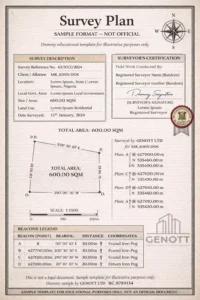
Before believing any survey plan, confirm these elements:
- Surveyor’s full name
- Surveyor’s registration number
- Official seal and signature
- Survey plan number
- Beacon numbers (boundary markers)
- Coordinates (Northings & Eastings)
- Accurate land description and LGA
- Date of survey
- Proper scale and measurement layout
- Space for charting/verification reference
If any of these are missing, stop immediately.
Understanding Survey Plan Numbers & Beacon IDs (Most Buyers Ignore This)
Survey Plan Number
This is the unique ID tied to the survey record.
A genuine survey plan number must be traceable at the Surveyor-General’s office.
Beacon Numbers
Beacons are physical boundary points placed on the land.
If the survey shows beacon numbers but the land has no identifiable boundary markers, the plan may be unreliable.
Coordinates
Coordinates define the land’s exact global position.
Fake survey plans often have:
-
Edited coordinate values
-
Wrong formatting
-
Location mismatch with the actual land
Signs a Survey Plan May Be Fake or Manipulated (Red Flags)
Here are the strongest warning signs:
1. Seller Refuses Charting
If a seller says “No need to chart,” walk away.
2. Surveyor Cannot Be Verified
Only registered surveyors produce legal plans.
3. The Plan Looks Altered
Inconsistent fonts, blurry seals, or edited coordinates are major danger signs.
4. Wrong Local Government
The plan may claim Abuja Municipal while the land is in a different district.
5. Land Price Is Too Cheap
Scam lands often come with “urgent sale” pressure.
6. Plan Doesn’t Match the Land Physically
If boundaries don’t align, the plan is useless.
Step-by-Step: How to Verify If a Survey Plan Is Real in Nigeria
Survey verification is not guesswork. It follows a clear process.
Step 1: Confirm the Surveyor is Registered
Ask for:
-
Surveyor’s full credentials
-
Registration evidence
-
Office traceability
Registered surveyors are accountable.
Step 2: Take the Survey Plan to the Surveyor-General’s Office
Verification must be done in the state where the land exists:
-
Lagos State Surveyor-General
-
FCT Survey Department (Abuja)
-
Ogun, Nasarawa, etc.
This is where official survey records are stored.
Step 3: Request Charting (Most Important Step)
Charting answers:
-
Is the land free from government acquisition?
-
Is the land within an excised zone?
-
Do the coordinates match official maps?
Charting is the difference between safe land and risky land.
Step 4: Confirm Acquisition Status
Land may fall under:
-
Committed acquisition (highest risk)
-
Government reserved zones
-
Road expansion areas
Charting reveals this immediately.
Step 5: Physical Beacon Inspection
Go to the site with a professional surveyor to confirm:
-
Beacons exist
-
Coordinates match location
-
No encroachment or dispute
Never skip physical verification.
Step 6: Lawyer-Supported Due Diligence
A survey plan does not prove ownership.
A lawyer verifies:
-
Root of title
-
Ownership chain
-
Land disputes
-
Proper transfer documentation
Where Survey Plan Verification Matters Most (State Notes)
Lagos
High acquisition history—charting is mandatory.
Abuja (FCT)
Most lands require government allocation confirmation.
Ogun
Boundary disputes are common due to community overlaps.
Nasarawa
Farmland demand is rising—fraud attempts are increasing.
Always verify based on state processes.
Survey Plan vs C of O vs Deed of Assignment (Critical Table)
Many buyers misunderstand this:
| Document | Purpose | Proves Ownership? |
|---|---|---|
| Survey Plan | Shows boundaries/location | No |
| Deed of Assignment | Transfers ownership rights | Yes |
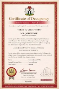
| Certificate of Occupancy (C of O) | Government-backed title | Strongest |
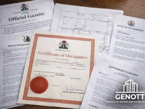
| Governor’s Consent | Validates transfer legally | Required |
A survey plan is only the starting point, not final proof.
GENOTT LTD Safe Buyer Pathway
At GENOTT LTD, we help buyers and investors avoid documentation mistakes through:
-
Verified land and farmland opportunities
-
Survey plan charting support
-
Full land title due diligence
-
Transparent ownership processes
-
Structured estate and agro-investment pathways
Our mission remains:
Making land and property ownership easier for everyone—for productive and lawful reasons.
If you want to buy land safely, verification must come first.
“Do This Before You Pay” Timeline (Investor Workflow)
Use this exact safety sequence:
Day 1: Inspect the land physically
Day 2: Collect survey plan + seller documents
Day 3: Chart survey at Surveyor-General office
Day 4: Lawyer verifies ownership + root of title
Day 5: Sign deed + agreement
Day 6: Pay securely with receipts
Day 7: Begin Governor’s Consent / registration process
This is how serious investors buy land safely.
Common Mistakes Buyers Must Avoid
-
Assuming survey plan = ownership
-
Paying before charting
-
Buying land under acquisition
-
Trusting agents without verification
-
Ignoring land-use purpose (farm vs estate vs resale)
Best Practices Before Buying Any Land in Nigeria
Always:
- Verify survey plan authenticity
- Chart coordinates officially
- Confirm title ownership beyond survey
- Work with professionals
- Use trusted firms like GENOTT LTD
- Document every payment and agreement
Land is safest when purchased legally and strategically.
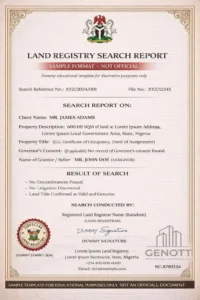
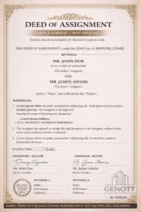
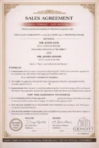
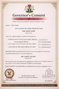
Check this:

State-by-State Survey Plan Verification Process Summaries (Nigeria)
Survey plan verification in Nigeria is done through the Office of the Surveyor-General or the relevant land bureau in the state where the land is located.
While the core process is similar nationwide, each state has specific practical expectations.
Survey Plan Verification in Lagos State
Lagos is the highest-risk land market in Nigeria due to frequent government acquisition zones and high scam activity.
Where Verification Happens
-
Office of the Surveyor-General of Lagos State (OSGL)
-
Land Bureau support offices (for title cross-check)
What Buyers Typically Request
-
Charting Report
-
Confirmation that land is:
-
Not under committed acquisition
-
Within excised or free zones
-
Properly surveyed and traceable
-
Lagos-Specific Notes
-
Charting is considered non-negotiable in Lagos
-
Many areas (Ibeju-Lekki, Epe, Ajah axis) require extra caution
-
Fake “excision claims” are common
♦ Best Practice: Never buy Lagos land without official charting.
Survey Plan Verification in Abuja (FCT)
Abuja land transactions are heavily regulated because most lands are tied to government allocation systems.
Where Verification Happens
-
Department of Survey & Mapping, FCDA
-
Abuja Geographic Information Systems (AGIS) for land records
What Buyers Must Confirm
-
That the land is not part of government resettlement or restricted zones
-
That allocation history matches seller claims
-
That the land has legitimate coordinate backing
Abuja-Specific Notes
-
Many “customary lands” sold informally carry high legal risk
-
Allocation papers matter more than informal community claims
♦ Best Practice: Always involve a property lawyer in FCT purchases.
Survey Plan Verification in Ogun State
Ogun has rapidly expanding border towns close to Lagos, making it a major hotspot for farmland and residential expansion.
Where Verification Happens
-
Office of the Surveyor-General, Ogun State
-
State land registry offices for due diligence
What Buyers Should Check
-
Boundary legitimacy between communities
-
Acquisition status for industrial expansion zones
-
Overlapping family land ownership claims
Ogun-Specific Notes
-
Community boundary disputes are more frequent
-
Multiple families may claim the same parcel
♦ Best Practice: Verify both at government level and local community level.
Survey Plan Verification in Nasarawa State
Nasarawa is becoming a fast-growing investment destination for farmland, agro-estates, and Abuja overflow development.
Where Verification Happens
-
Nasarawa State Surveyor-General Office
-
Ministry of Lands and Urban Development
What Investors Typically Verify
-
Land-use classification (agriculture vs residential)
-
Clear boundary mapping for large farmland parcels
-
Acquisition-free confirmation
Nasarawa-Specific Notes
-
Farmland buyers must confirm land is not earmarked for future government projects
-
Large agricultural plots require deeper beacon inspection
♦ Best Practice: Always inspect physically with a surveyor before payment.
Survey Plan Verification in Oyo State
Oyo has increasing farmland investment interest, especially around Ibadan expansion corridors.
Where Verification Happens
-
Oyo State Surveyor-General Office
-
Ministry of Lands for ownership confirmation
Key Checks
-
Customary land ownership structures
-
Proper survey registration
-
Agricultural zoning compliance
♦ Best Practice: Confirm land-use compatibility if buying for farming.
Survey Plan Verification in Rivers State
Rivers is highly valuable for commercial and industrial land, but also carries documentation complexity.
Where Verification Happens
-
Rivers State Surveyor-General Office
-
Land Registry for title history
Key Focus Areas
-
Government acquisition zones
-
Ownership disputes in waterfront areas
-
Proper deed registration
♦ Best Practice: Ensure survey plan aligns with registered title.
General Rule Across All Nigerian States
No matter the location, the safest survey verification workflow is:
-
Collect the survey plan
-
Confirm surveyor registration
-
Submit for official charting
-
Check acquisition/excision status
-
Inspect beacon points physically
-
Complete full legal due diligence
-
Pay only after confirmation
FAQs:
1. Can I buy land with only a survey plan?
No. A survey plan does not prove ownership.
2. How do I know if a survey plan is genuine in Nigeria?
Verify through charting at the Surveyor-General’s office.
3. What is charting in Nigeria?
Charting confirms land acquisition status and coordinate authenticity.
4. How much does survey plan verification cost?
It varies by state, but it is far cheaper than losing your investment.
5. Where can I chart a survey plan in Lagos?
At the Lagos State Surveyor-General’s office through official charting processes.
6. What are signs of a fake survey plan?
Missing seal, altered coordinates, unregistered surveyor, seller avoiding verification.
7. Is farmland survey verification different?
The process is similar, but farmland requires extra land-use and boundary checks.
8. Can diaspora buyers verify survey plans safely?
Yes, by working with trusted professionals or GENOTT LTD for guided due diligence.
Conclusion
Understanding Survey Plan Explained: How to Know If It’s Real or Fake is one of the smartest protections any Nigerian land buyer can have. Fake survey plans are common, but proper verification through charting, inspection, and professional due diligence prevents costly losses.
Whether you are buying for housing, farmland investment, or mixed-use agro-real estate, always verify before you pay.
For verified land opportunities and full documentation support, consider working with GENOTT LTD for secure, transparent, and guided land ownership.


 GENOTT LTD Editorial Team